
Thank you for supporting this site ❤️
Make a donation
Make a donation
Gear up for your next adventure:
As an Amazon Associate, this site earns from qualifying purchases at no extra cost to you.
Mandarmani topographic map
Click on the map to display elevation.
Thank you for supporting this site ❤️
Make a donation
Make a donation
Gear up for your next adventure:
As an Amazon Associate, this site earns from qualifying purchases at no extra cost to you.
About this map
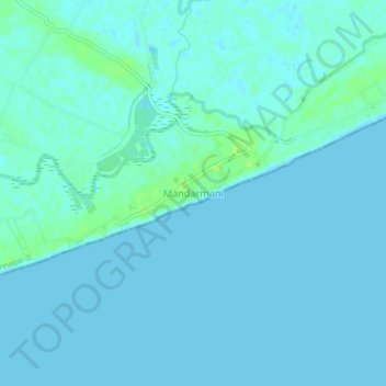
Name: Mandarmani topographic map, elevation, terrain.
Location: Mandarmani, Ramnagar-II, Purba Medinipur, West Bengal, India (21.64476 87.68534 21.68476 87.72534)
Average elevation: 7 ft
Minimum elevation: 0 ft
Maximum elevation: 39 ft
Thank you for supporting this site ❤️
Make a donation
Make a donation
Gear up for your next adventure:
As an Amazon Associate, this site earns from qualifying purchases at no extra cost to you.