
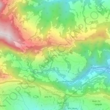
Dhampus Phedi topographic map
Interactive map
Click on the map to display elevation.
About this map
Name: Dhampus Phedi topographic map, elevation, terrain.
Average elevation: 4,839 ft
Minimum elevation: 3,743 ft
Maximum elevation: 6,473 ft
Other topographic maps
Click on a map to view its topography, its elevation and its terrain.
Annapurna I
Annapurna I, Ghandruk, Annapurna, Kaski, Gandaki Pradesh, Nepal
Average elevation: 23,383 ft