
Pachilla topographic map
Click on the map to display elevation.
About this map
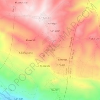
Name: Pachilla topographic map, elevation, terrain.
Location: Pachilla, Rumisapa, Provincia de Lamas, San Martín, Perú (-6.44415 -76.47898 -6.40415 -76.43898)
Average elevation: 2,323 ft
Minimum elevation: 1,093 ft
Maximum elevation: 3,054 ft