Geolocate

Penhook topographic map

Click on the map to display elevation.

About this map
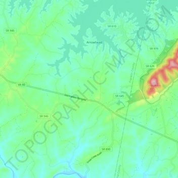
Name: Penhook topographic map, elevation, terrain.

Location: Penhook, Franklin County, Virginia, 24137, United States (36.94556 -79.66217 37.03415 -79.60299)

Average elevation: 889 ft

Minimum elevation: 686 ft

Maximum elevation: 1,604 ft

Franklin County trails, hiking, mountain biking, running and outdoor activities

Gear up for your next adventure:

🧢Sun Protection Hats - Wide-brimmed and UPF-rated hats for high-altitude sun safety
🧣Merino Neck Gaiters - Multi-functional headwear for wind and sun protection
🎒Day Hiking Backpack - Lightweight backpack perfect for day trips and outdoor adventures
🥩Freeze-Dried Meals - Nutritious and lightweight food for remote expeditions
👓Polarized Sunglasses - Outdoor sunglasses for glare reduction

As an Amazon Associate, this site earns from qualifying purchases at no extra cost to you.