Geolocate

Copare topographic map

Click on the map to display elevation.

About this map

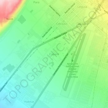
Name: Copare topographic map, elevation, terrain.

Location: Copare, Tacna, 23004, Perú (-18.07018 -70.30394 -18.03018 -70.26394)

Average elevation: 1,467 ft

Minimum elevation: 1,214 ft

Maximum elevation: 1,991 ft

Other topographic maps

Click on a map to view its topography, its elevation and its terrain.

Urbanización Bacna Ríos

Perú > Tacna > Tacna

Average elevation: 1,906 ft

Óvalo Cristo Rey

Perú > Tacna > Tacna

Average elevation: 1,654 ft

Gear up for your next adventure:

🥘Titanium Cookware - Durable, featherlight pots and pans for backpacking
🥾Hiking Shoes - Durable and comfortable shoes for trail hiking
📶Satellite Messenger - Communication device off‑grid
🧷Carabiner Set - Durable clips for gear attachment
☀️Outdoor Sunscreen - High protection sunscreen for outdoor activities

As an Amazon Associate, this site earns from qualifying purchases at no extra cost to you.