Geolocate

Titabor topographic map

Click on the map to display elevation.

About this map

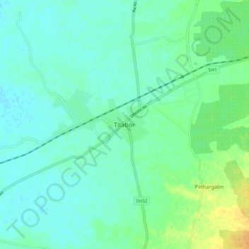
Name: Titabor topographic map, elevation, terrain.

Location: Titabor, Jorhat, Assam, 785630, India (26.54713 94.14040 26.62713 94.22040)

Average elevation: 318 ft

Minimum elevation: 292 ft

Maximum elevation: 390 ft

Gear up for your next adventure:

🏫Relief Map Kits - Hands-on tools for teaching landforms and elevation
🧭Hiking Compass - Precision compass for reliable navigation in the wilderness
🛡️Insect Repellent - Protection against bugs during outdoor activities
🔦Compact Flashlight - Reliable flashlight for emergencies
🧦Merino Wool Socks - Moisture-wicking, blister-preventing socks for long treks

As an Amazon Associate, this site earns from qualifying purchases at no extra cost to you.