
Make a donation
Gear up for your next adventure:
As an Amazon Associate, this site earns from qualifying purchases at no extra cost to you.
Linden Grove topographic map
Click on the map to display elevation.
Make a donation
Gear up for your next adventure:
As an Amazon Associate, this site earns from qualifying purchases at no extra cost to you.
About this map
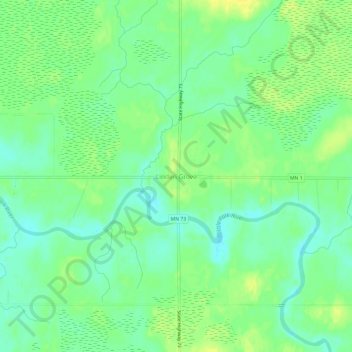
Name: Linden Grove topographic map, elevation, terrain.
Location: Linden Grove, Saint Louis County, Minnesota, United States (47.84298 -92.89045 47.88298 -92.85045)
Average elevation: 1,302 ft
Minimum elevation: 1,270 ft
Maximum elevation: 1,335 ft
Make a donation
Gear up for your next adventure:
As an Amazon Associate, this site earns from qualifying purchases at no extra cost to you.
Other topographic maps
Click on a map to view its topography, its elevation and its terrain.
Duluth
United States > Minnesota > Saint Louis County
Duluth's topography is dominated by a steep hillside that climbs from Lake Superior to high inland elevations. Duluth has been called "the San Francisco of the Midwest," alluding to San Francisco's similar water-to-hilltop topography. This similarity was most evident before World War II, when Duluth had a…
Average elevation: 938 ft