
Thank you for supporting this site ❤️
Make a donation
Make a donation
Gear up for your next adventure:
As an Amazon Associate, this site earns from qualifying purchases at no extra cost to you.
Andrín topographic map
Click on the map to display elevation.
Thank you for supporting this site ❤️
Make a donation
Make a donation
Gear up for your next adventure:
As an Amazon Associate, this site earns from qualifying purchases at no extra cost to you.
About this map
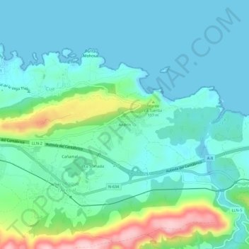
Name: Andrín topographic map, elevation, terrain.
Location: Andrín, San Roque l'Acebal, Llanes, Asturias, 33596, España (43.38641 -4.73801 43.42641 -4.69801)
Average elevation: 164 ft
Minimum elevation: -10 ft
Maximum elevation: 764 ft
Thank you for supporting this site ❤️
Make a donation
Make a donation
Gear up for your next adventure:
As an Amazon Associate, this site earns from qualifying purchases at no extra cost to you.