Geolocate

Windermere topographic map

Click on the map to display elevation.

About this map

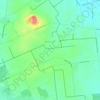
Name: Windermere topographic map, elevation, terrain.

Location: Windermere, Bundaberg Region, Queensland, Australia (-24.87500 152.40399 -24.84531 152.46408)

Average elevation: 98 ft

Minimum elevation: 10 ft

Maximum elevation: 312 ft

Other topographic maps

Click on a map to view its topography, its elevation and its terrain.

Gin Gin

Australia > Queensland > Bundaberg Region > Gin Gin

Average elevation: 240 ft

Isis River

Australia > Queensland > Bundaberg Region > Buxton

Average elevation: 39 ft

Burrum River

Australia > Queensland > Bundaberg Region > Buxton

Average elevation: 66 ft

Woodgate Beach

Australia > Queensland > Bundaberg Region

Average elevation: 10 ft

Bundaberg

Australia > Queensland > Bundaberg Region

Average elevation: 59 ft

Bundaberg

Australia > Queensland > Bundaberg Region

Average elevation: 59 ft

Gear up for your next adventure:

🥩Freeze-Dried Meals - Nutritious and lightweight food for remote expeditions
🧺Microfiber Travel Towels - Compact and fast-drying towels for trail use
☀️Outdoor Sunscreen - High protection sunscreen for outdoor activities
🌎3D Topographic Globes - Raised relief globes for a tactile understanding of geography
🥾Men's Hiking Boots - Durable, waterproof footwear for rugged terrain and steep inclines

As an Amazon Associate, this site earns from qualifying purchases at no extra cost to you.