Geolocate

Loch Rannoch topographic map

Click on the map to display elevation.

About this map

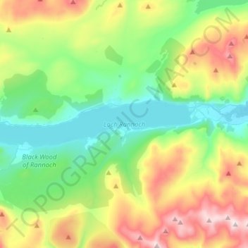
Name: Loch Rannoch topographic map, elevation, terrain.

Location: Loch Rannoch, Kinloch Rannoch, Perth and Kinross, Scotland, United Kingdom (56.67770 -4.44246 56.70396 -4.18853)

Average elevation: 1,539 ft

Minimum elevation: 640 ft

Maximum elevation: 3,419 ft

Other topographic maps

Click on a map to view its topography, its elevation and its terrain.

Gear up for your next adventure:

🧢Sun Protection Hats - Wide-brimmed and UPF-rated hats for high-altitude sun safety
🛠️Backpacking Tool Kit - Essential toolkit for outdoor repairs
🎒Trekking Poles - Sturdy poles for balance and stability on rough terrain
🌄Hiking Binoculars - Compact binoculars for scenic views and trail spotting
🪶Paracord Bracelet - Survival bracelet with built‑in tools

As an Amazon Associate, this site earns from qualifying purchases at no extra cost to you.