
Jülich topographic map
Click on the map to display elevation.
About this map
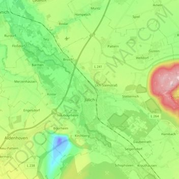
Name: Jülich topographic map, elevation, terrain.
Location: Jülich, Kreis Düren, North Rhine-Westphalia, 52428, Germany (50.87850 6.26449 50.97854 6.45489)
Average elevation: 322 ft
Minimum elevation: -164 ft
Maximum elevation: 955 ft