
Thank you for supporting this site ❤️
Make a donation
Make a donation
Gear up for your next adventure:
As an Amazon Associate, this site earns from qualifying purchases at no extra cost to you.
Baúl topographic map
Click on the map to display elevation.
Thank you for supporting this site ❤️
Make a donation
Make a donation
Gear up for your next adventure:
As an Amazon Associate, this site earns from qualifying purchases at no extra cost to you.
About this map
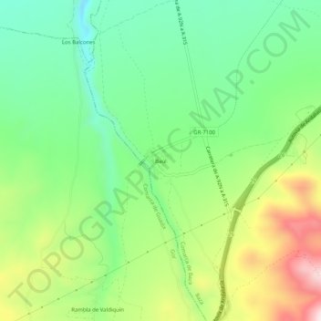
Name: Baúl topographic map, elevation, terrain.
Location: Baúl, Baza, Comarca de Baza, Granada, Andalusia, Spain (37.40789 -2.94856 37.44789 -2.90856)
Average elevation: 3,960 ft
Minimum elevation: 3,438 ft
Maximum elevation: 4,849 ft
Thank you for supporting this site ❤️
Make a donation
Make a donation
Gear up for your next adventure:
As an Amazon Associate, this site earns from qualifying purchases at no extra cost to you.