Geolocate

Simpson Bay topographic map

Click on the map to display elevation.

About this map

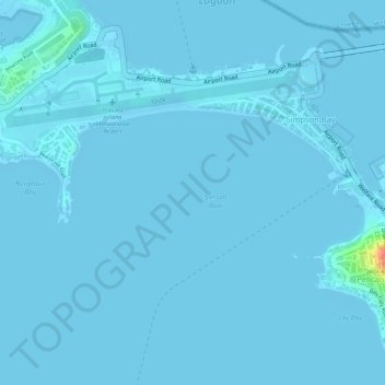
Name: Simpson Bay topographic map, elevation, terrain.

Location: Simpson Bay, Sint Maarten, Netherlands (18.03449 -63.10597 18.03459 -63.10587)

Average elevation: 3 ft

Minimum elevation: -7 ft

Maximum elevation: 174 ft

Gear up for your next adventure:

📱Solar Portable Charger - Solar power bank for charging devices off‑grid
🔭Telescopic Hiking Pole - Adjustable pole for hiking stability
🧤Tactile Hiking Gloves - Keep hands warm while operating GPS and smartphone screens
🌡️Handheld Weather Meters - Measure wind, temp, and pressure for safe mountain travel
🗃️Trail First Aid Kit - Essential kit for outdoor injuries and emergencies

As an Amazon Associate, this site earns from qualifying purchases at no extra cost to you.