Geolocate

Al Sharauna topographic map

Click on the map to display elevation.

About this map

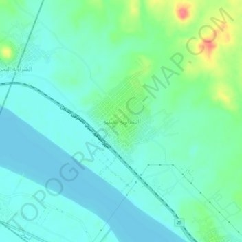
Name: Al Sharauna topographic map, elevation, terrain.

Location: Al Sharauna, Aswan, 81648, Egypt (25.20284 32.65541 25.24284 32.69541)

Average elevation: 302 ft

Minimum elevation: 249 ft

Maximum elevation: 476 ft

Gear up for your next adventure:

💧Water Filtration Bottles - Safely drink from streams and lakes while exploring
🌄Hiking Binoculars - Compact binoculars for scenic views and trail spotting
🧣Hiking Neck Gaiter - Multi‑use neck protection for outdoor weather
🗺️Topographic Maps - Detailed topo maps for hiking, exploring and outdoor navigation
⛑️Personal Locator Beacon - Safety beacon for emergencies

As an Amazon Associate, this site earns from qualifying purchases at no extra cost to you.