
Make a donation
Gear up for your next adventure:
As an Amazon Associate, this site earns from qualifying purchases at no extra cost to you.
Straubenhardt topographic map
Click on the map to display elevation.
Make a donation
Gear up for your next adventure:
As an Amazon Associate, this site earns from qualifying purchases at no extra cost to you.
Straubenhardt
Seit 2017/2018 gibt es bei Straubenhardt einen Windpark mit 11 Windkraftanlagen des Typs Siemens SWT-3.0-113. Jeder dieser Maschinen hat eine Nabenhöhe von 142,5 Metern, einen Rotordurchmesser von 113 Meter und kann eine Maximalleistung von 3 MW erbringen.
Make a donation
Gear up for your next adventure:
As an Amazon Associate, this site earns from qualifying purchases at no extra cost to you.
About this map
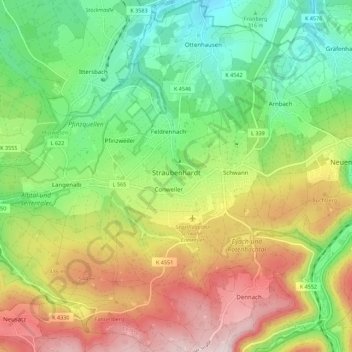
Name: Straubenhardt topographic map, elevation, terrain.
Location: Straubenhardt, Enzkreis, Baden-Württemberg, 75334, Deutschland (48.80974 8.46806 48.88245 8.56912)
Average elevation: 1,371 ft
Minimum elevation: 745 ft
Maximum elevation: 2,267 ft
Make a donation
Gear up for your next adventure:
As an Amazon Associate, this site earns from qualifying purchases at no extra cost to you.