
Starke topographic map
Click on the map to display elevation.
About this map
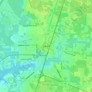
Name: Starke topographic map, elevation, terrain.
Location: Starke, Bradford County, Florida, 32091, United States (29.92435 -82.13011 29.96435 -82.09011)
Average elevation: 164 ft
Minimum elevation: 141 ft
Maximum elevation: 177 ft
Bradford County trails, hiking, mountain biking, running and outdoor activities