
Thank you for supporting this site ❤️
Make a donation
Make a donation
Gear up for your next adventure:
As an Amazon Associate, this site earns from qualifying purchases at no extra cost to you.
Lindel topographic map
Click on the map to display elevation.
Thank you for supporting this site ❤️
Make a donation
Make a donation
Gear up for your next adventure:
As an Amazon Associate, this site earns from qualifying purchases at no extra cost to you.
About this map
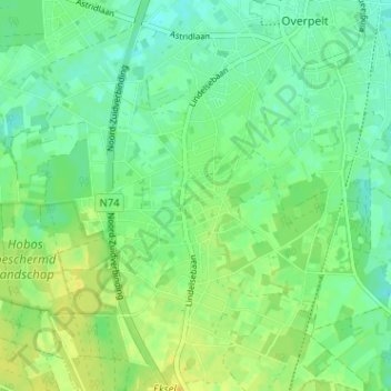
Name: Lindel topographic map, elevation, terrain.
Location: Lindel, Overpelt, Pelt, Maaseik, Limburg, 3900, België (51.17340 5.38525 51.21340 5.42525)
Average elevation: 161 ft
Minimum elevation: 131 ft
Maximum elevation: 197 ft
Thank you for supporting this site ❤️
Make a donation
Make a donation
Gear up for your next adventure:
As an Amazon Associate, this site earns from qualifying purchases at no extra cost to you.