
Aztec topographic map
Click on the map to display elevation.
Aztec
Yet another area managed by the BLM, this area was formed about the same time as the Bisti and Ah-Shi-Sle-Pah. This region offers a uniquely different scale of landscape. Hoodoo in this region are massive and the terrain much greater in elevation differences, thereby exposing a greater geological time frame than the Bisti or Ah-Shi-Sle-Pah. This region is a bit more accessible due to oil field roads traversing the region. However, extreme caution is required when driving on as these roads as they are impassible when wet.
About this map
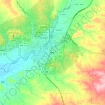
Name: Aztec topographic map, elevation, terrain.
Location: Aztec, San Juan County, New Mexico, 87410, United States (36.78206 -108.03290 36.86206 -107.95290)
Average elevation: 5,797 ft
Minimum elevation: 5,538 ft
Maximum elevation: 6,230 ft
San Juan County trails, hiking, mountain biking, running and outdoor activities