Geolocate

Ghoramara topographic map

Click on the map to display elevation.

About this map

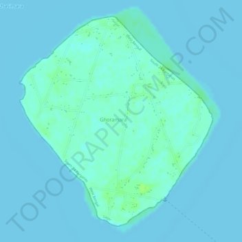
Name: Ghoramara topographic map, elevation, terrain.

Location: Ghoramara, Sagar, South 24 Parganas, West Bengal, India (21.90163 88.11758 21.92501 88.14081)

Average elevation: 7 ft

Minimum elevation: -3 ft

Maximum elevation: 33 ft

Gear up for your next adventure:

🪶Multi‑Purpose Knife - Useful blade for camp and trail
🦶Hiking Gaiters - Keep debris and water out of your boots
🔭Telescopic Hiking Pole - Adjustable pole for hiking stability
🧥Men's Rain Shells - Premium waterproof and breathable jackets for mountain weather
🥾Men's Hiking Boots - Durable, waterproof footwear for rugged terrain and steep inclines

As an Amazon Associate, this site earns from qualifying purchases at no extra cost to you.