El Ñuro topographic map
Interactive map
Click on the map to display elevation.
About this map
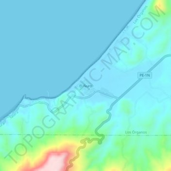
Name: El Ñuro topographic map, elevation, terrain.
Location: El Ñuro, Los Órganos, Talara, Piura, Perú (-4.23539 -81.19246 -4.19539 -81.15246)
Average elevation: 128 ft
Minimum elevation: -13 ft
Maximum elevation: 955 ft
Other topographic maps
Click on a map to view its topography, its elevation and its terrain.
Los Organos
Perú > Piura > Los Órganos
Los Organos, Los Órganos, Talara, Piura, 20840, Perú
Average elevation: 125 ft
Vichayito
Perú > Piura > Los Órganos
Vichayito, Los Órganos, Talara, Piura, 20840, Perú
Average elevation: 56 ft
Los Órganos
Perú > Piura > Los Órganos
Los Órganos, Provincia de Talara, Piura, Perú
Average elevation: 459 ft