
Thank you for supporting this site ❤️
Make a donation
Make a donation
Gear up for your next adventure:
As an Amazon Associate, this site earns from qualifying purchases at no extra cost to you.
Me'enaka topographic map
Click on the map to display elevation.
Thank you for supporting this site ❤️
Make a donation
Make a donation
Gear up for your next adventure:
As an Amazon Associate, this site earns from qualifying purchases at no extra cost to you.
About this map
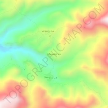
Name: Me'enaka topographic map, elevation, terrain.
Location: Me'enaka, Morobe, Momase Region, Papua New Guinea (-7.17980 145.79108 -7.13980 145.83108)
Average elevation: 5,069 ft
Minimum elevation: 3,802 ft
Maximum elevation: 6,555 ft
Thank you for supporting this site ❤️
Make a donation
Make a donation
Gear up for your next adventure:
As an Amazon Associate, this site earns from qualifying purchases at no extra cost to you.