
Make a donation
Gear up for your next adventure:
As an Amazon Associate, this site earns from qualifying purchases at no extra cost to you.
Bay topographic map
Click on the map to display elevation.
Make a donation
Gear up for your next adventure:
As an Amazon Associate, this site earns from qualifying purchases at no extra cost to you.
About this map
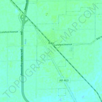
Name: Bay topographic map, elevation, terrain.
Location: Bay, Craighead County, Arkansas, 72411, United States (35.71359 -90.58733 35.76395 -90.53113)
Average elevation: 226 ft
Minimum elevation: 217 ft
Maximum elevation: 236 ft
Craighead County trails, hiking, mountain biking, running and outdoor activities
Make a donation
Gear up for your next adventure:
As an Amazon Associate, this site earns from qualifying purchases at no extra cost to you.
Other topographic maps
Click on a map to view its topography, its elevation and its terrain.
Philadelphia
United States > Arkansas > Craighead County > Jonesboro > Philadelphia
Average elevation: 348 ft
Make a donation
Gear up for your next adventure:
As an Amazon Associate, this site earns from qualifying purchases at no extra cost to you.