
Make a donation
Gear up for your next adventure:
As an Amazon Associate, this site earns from qualifying purchases at no extra cost to you.
Erlinghagen topographic map
Click on the map to display elevation.
Make a donation
Gear up for your next adventure:
As an Amazon Associate, this site earns from qualifying purchases at no extra cost to you.
Erlinghagen
Auf der Anhöhe am Ortsausgang Richtung Gimborn steht ein Bildstock mit einem Kreuz. Der Bau dieses Kreuzes war Anlass, dass sich 1965 die Dorfbewohner erstmals offiziell zur „Dorfgemeinschaft Erlinghagen“ zusammenschlossen.
Make a donation
Gear up for your next adventure:
As an Amazon Associate, this site earns from qualifying purchases at no extra cost to you.
About this map
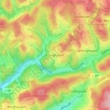
Name: Erlinghagen topographic map, elevation, terrain.
Average elevation: 1,040 ft
Minimum elevation: 696 ft
Maximum elevation: 1,381 ft
Make a donation
Gear up for your next adventure:
As an Amazon Associate, this site earns from qualifying purchases at no extra cost to you.