Geolocate

Milagros topographic map

Click on the map to display elevation.

About this map

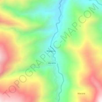
Name: Milagros topographic map, elevation, terrain.

Location: Milagros, Monzón, Huamalíes, Huánuco, Perú (-9.37890 -76.42248 -9.33890 -76.38248)

Average elevation: 5,148 ft

Minimum elevation: 3,589 ft

Maximum elevation: 7,228 ft

Gear up for your next adventure:

🧯Portable Fire Pit - Compact fire pit for camping spots
Backpacking Tent - Lightweight and durable tent for multi‑day hikes
🌡️Portable Weather Meter - Track weather conditions on the trail
🎁Geography Themed Gifts - Unique gift ideas for map lovers and geography enthusiasts
🦶Carbon Trekking Poles - Reduce knee impact on steep descents with ultra-light poles

As an Amazon Associate, this site earns from qualifying purchases at no extra cost to you.