Geolocate

Kennett topographic map

Click on the map to display elevation.

About this map

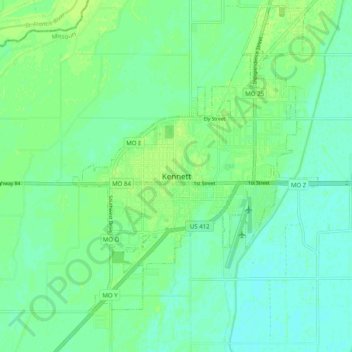
Name: Kennett topographic map, elevation, terrain.

Location: Kennett, Dunklin County, Missouri, 63857, United States (36.19811 -90.09516 36.27811 -90.01516)

Average elevation: 262 ft

Minimum elevation: 243 ft

Maximum elevation: 276 ft

Gear up for your next adventure:

🎒Day Hiking Backpack - Lightweight backpack perfect for day trips and outdoor adventures
🧥Waterproof Jacket for Hiking - Breathable and rugged rain jacket for outdoor excursions
🛌Ultralight Sleeping Bags - Compact down bags for cold nights in the wilderness
🚗GPS Dash Cams - Record your scenic drives through mountain passes and canyons
🎒Gear Packing Cubes - Organize your backpack efficiently

As an Amazon Associate, this site earns from qualifying purchases at no extra cost to you.