Geolocate

Pisgah topographic map

Click on the map to display elevation.

About this map

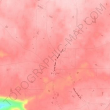
Name: Pisgah topographic map, elevation, terrain.

Location: Pisgah, Jackson County, Alabama, United States (34.66761 -85.86550 34.70740 -85.82113)

Average elevation: 1,375 ft

Minimum elevation: 837 ft

Maximum elevation: 1,453 ft

Jackson County trails, hiking, mountain biking, running and outdoor activities

Gear up for your next adventure:

🎒Day Hiking Backpack - Lightweight backpack perfect for day trips and outdoor adventures
🥘Titanium Cookware - Durable, featherlight pots and pans for backpacking
🦺Reflective Outdoor Gear - Safety gear for low‑light conditions
💧Water Purification System - Clean water on the trail with reliable purifiers
🪑Ultralight Camp Chairs - Portable seating for resting after a long day of mapping

As an Amazon Associate, this site earns from qualifying purchases at no extra cost to you.