Geolocate

Cold Springs topographic map

Click on the map to display elevation.

About this map

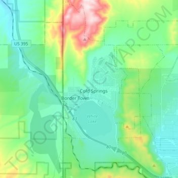
Name: Cold Springs topographic map, elevation, terrain.

Location: Cold Springs, Washoe County, Nevada, United States (39.62635 -120.00136 39.73601 -119.91540)

Average elevation: 5,361 ft

Minimum elevation: 4,895 ft

Maximum elevation: 6,873 ft

Washoe County trails, hiking, mountain biking, running and outdoor activities

Gear up for your next adventure:

🗺️Topographic Maps - Detailed topo maps for hiking, exploring and outdoor navigation
🥾Women's Hiking Boots - Top-rated trail boots with ankle support and superior grip
🚁Photography Drones - Capture stunning aerial views of landforms and topography
🎒Day Hiking Backpack - Lightweight backpack perfect for day trips and outdoor adventures
🛡️Insect Repellent - Protection against bugs during outdoor activities

As an Amazon Associate, this site earns from qualifying purchases at no extra cost to you.