
Westport topographic map
Click on the map to display elevation.
About this map
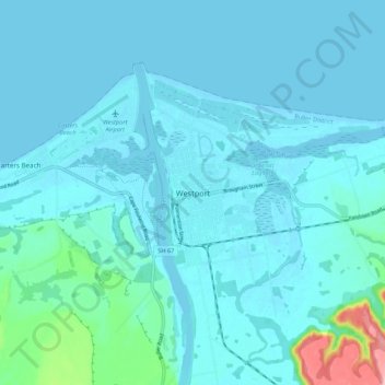
Name: Westport topographic map, elevation, terrain.
Location: Westport, Buller District, West Coast, 7825, New Zealand (-41.79418 171.56357 -41.71418 171.64357)
Average elevation: 43 ft
Minimum elevation: -3 ft
Maximum elevation: 430 ft
Other topographic maps
Click on a map to view its topography, its elevation and its terrain.
Buller River Mouth Wildlife Refuge
New Zealand > West Coast > Buller District > Westport
Average elevation: 16 ft