
Make a donation
Gear up for your next adventure:
As an Amazon Associate, this site earns from qualifying purchases at no extra cost to you.
Bosenberg topographic map
Click on the map to display elevation.
Make a donation
Gear up for your next adventure:
As an Amazon Associate, this site earns from qualifying purchases at no extra cost to you.
About this map
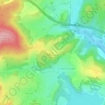
Name: Bosenberg topographic map, elevation, terrain.
Average elevation: 1,447 ft
Minimum elevation: 1,257 ft
Maximum elevation: 1,781 ft
Make a donation
Gear up for your next adventure:
As an Amazon Associate, this site earns from qualifying purchases at no extra cost to you.
Other topographic maps
Click on a map to view its topography, its elevation and its terrain.
Bostalsee
Deutschland > Saarland > Landkreis St. Wendel > Nohfelden
Wegen der Bauwerkshöhe des Sperrdamms von mehr als fünf Metern über Talgrund gilt der Bostalsee juristisch und technisch als Talsperre und wird entsprechend durch die Erlaubnisbehören überwacht. Gemäß der Nomenklatur müsste sie als Bosbachtalsperre oder Talsperre Bosen bezeichnet werden.
Average elevation: 1,352 ft
Mosberg-Richweiler
Deutschland > Saarland > Landkreis St. Wendel > Nohfelden
Average elevation: 1,378 ft
Make a donation
Gear up for your next adventure:
As an Amazon Associate, this site earns from qualifying purchases at no extra cost to you.