
Al Aqaltah Village topographic map
Interactive map
Click on the map to display elevation.
About this map
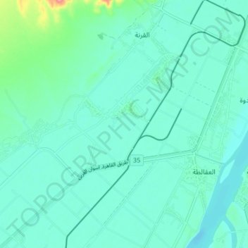
Name: Al Aqaltah Village topographic map, elevation, terrain.
Location: Al Aqaltah Village, Luxor Governate, 85852, Egypt (25.66616 32.56036 25.72372 32.62720)
Average elevation: 266 ft
Minimum elevation: 210 ft
Maximum elevation: 554 ft