
Frenchman River topographic map
Interactive map
Click on the map to display elevation.
About this map
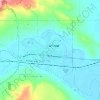
Name: Frenchman River topographic map, elevation, terrain.
Location: Frenchman River, Eastend, Saskatchewan, S0N 0T0, Canada (49.51013 -108.82495 49.52095 -108.80736)
Average elevation: 3,064 ft
Minimum elevation: 2,976 ft
Maximum elevation: 3,366 ft