
Musanze topographic map
Interactive map
Click on the map to display elevation.
About this map
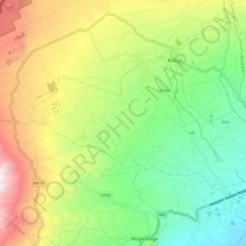
Name: Musanze topographic map, elevation, terrain.
Location: Musanze, Northern Province, Rwanda (-1.50133 29.53028 -1.44758 29.63016)
Average elevation: 7,372 ft
Minimum elevation: 5,876 ft
Maximum elevation: 9,728 ft
Other topographic maps
Click on a map to view its topography, its elevation and its terrain.
Volcanoes National Park
Rwanda > Northern Province > Musanze
Volcanoes National Park, Musanze, Northern Province, Rwanda
Average elevation: 7,710 ft