
Make a donation
Gear up for your next adventure:
As an Amazon Associate, this site earns from qualifying purchases at no extra cost to you.
Gingelom topographic map
Click on the map to display elevation.
Make a donation
Gear up for your next adventure:
As an Amazon Associate, this site earns from qualifying purchases at no extra cost to you.
Gingelom
Gingelom ligt in Droog-Haspengouw, in de vallei van de Molenbeek. Deze beek loopt door Gingelom. De hoogte bedraagt ongeveer 100 meter. Afgezien van een klein bos op het kasteeldomein, is er vooral sprake van een open landschap op leembodem. Ook de Cicindriabeek ontspringt er.
Make a donation
Gear up for your next adventure:
As an Amazon Associate, this site earns from qualifying purchases at no extra cost to you.
About this map
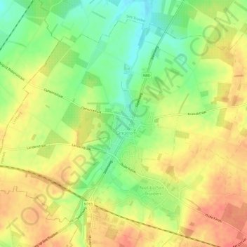
Name: Gingelom topographic map, elevation, terrain.
Location: Gingelom, Hasselt, Limburg, Vlaanderen, België (50.73531 5.10154 50.76752 5.16177)
Average elevation: 299 ft
Minimum elevation: 203 ft
Maximum elevation: 371 ft
Make a donation
Gear up for your next adventure:
As an Amazon Associate, this site earns from qualifying purchases at no extra cost to you.