
Shiloh topographic map
Click on the map to display elevation.
About this map
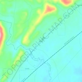
Name: Shiloh topographic map, elevation, terrain.
Location: Shiloh, Etowah County, Alabama, United States (33.95482 -86.19220 33.99482 -86.15220)
Average elevation: 640 ft
Minimum elevation: 525 ft
Maximum elevation: 1,050 ft
Etowah County trails, hiking, mountain biking, running and outdoor activities