
Thank you for supporting this site ❤️
Make a donation
Make a donation
Gear up for your next adventure:
As an Amazon Associate, this site earns from qualifying purchases at no extra cost to you.
Alberdi topographic map
Click on the map to display elevation.
Thank you for supporting this site ❤️
Make a donation
Make a donation
Gear up for your next adventure:
As an Amazon Associate, this site earns from qualifying purchases at no extra cost to you.
About this map
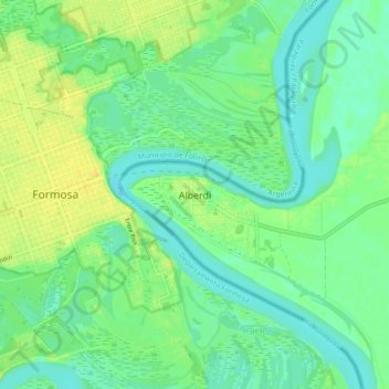
Name: Alberdi topographic map, elevation, terrain.
Location: Alberdi, Ñeembucú, Región Oriental, 2980, Paraguay (-26.22541 -58.18249 -26.14541 -58.10249)
Average elevation: 184 ft
Minimum elevation: 154 ft
Maximum elevation: 223 ft
Thank you for supporting this site ❤️
Make a donation
Make a donation
Gear up for your next adventure:
As an Amazon Associate, this site earns from qualifying purchases at no extra cost to you.