Geolocate

Fruitville topographic map

Click on the map to display elevation.

About this map

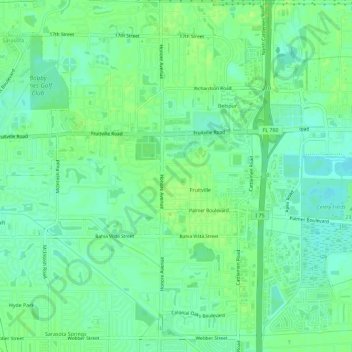
Name: Fruitville topographic map, elevation, terrain.

Location: Fruitville, Sarasota County, Florida, 34232, United States (27.30832 -82.49635 27.35722 -82.44104)

Average elevation: 33 ft

Minimum elevation: 10 ft

Maximum elevation: 52 ft

Sarasota County trails, hiking, mountain biking, running and outdoor activities

Gear up for your next adventure:

⛑️Personal Locator Beacon - Safety beacon for emergencies
🏕️Family Camping Gear - Essentials for group camping trips
🧭GPS Watch Accessories - Bands and chargers for GPS watches
🌄Hiking Binoculars - Compact binoculars for scenic views and trail spotting
🥇GPS Hiking Watch - Multi‑sport GPS watch with navigation and trail tracking

As an Amazon Associate, this site earns from qualifying purchases at no extra cost to you.