
Peoria topographic map
Click on the map to display elevation.
About this map
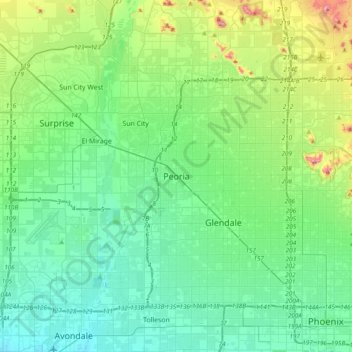
Name: Peoria topographic map, elevation, terrain.
Location: Peoria, Maricopa County, Arizona, 85345, United States (33.42061 -112.39729 33.74061 -112.07729)
Average elevation: 1,201 ft
Minimum elevation: 938 ft
Maximum elevation: 2,192 ft
Maricopa County trails, hiking, mountain biking, running and outdoor activities
Other topographic maps
Click on a map to view its topography, its elevation and its terrain.