
Thank you for supporting this site ❤️
Make a donation
Make a donation
Gear up for your next adventure:
As an Amazon Associate, this site earns from qualifying purchases at no extra cost to you.
Atlanta topographic map
Click on the map to display elevation.
Thank you for supporting this site ❤️
Make a donation
Make a donation
Gear up for your next adventure:
As an Amazon Associate, this site earns from qualifying purchases at no extra cost to you.
About this map
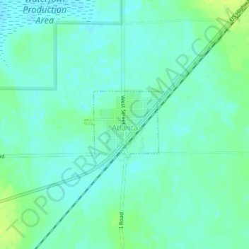
Name: Atlanta topographic map, elevation, terrain.
Location: Atlanta, Phelps County, Nebraska, 68923, United States (40.36456 -99.47911 40.37178 -99.46721)
Average elevation: 2,346 ft
Minimum elevation: 2,326 ft
Maximum elevation: 2,379 ft
Phelps County trails, hiking, mountain biking, running and outdoor activities
Thank you for supporting this site ❤️
Make a donation
Make a donation
Gear up for your next adventure:
As an Amazon Associate, this site earns from qualifying purchases at no extra cost to you.