Geolocate

Grapefield topographic map

Click on the map to display elevation.

About this map

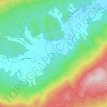
Name: Grapefield topographic map, elevation, terrain.

Location: Grapefield, Bland County, Virginia, 24314, United States (37.12956 -81.26204 37.16956 -81.22204)

Average elevation: 2,697 ft

Minimum elevation: 2,234 ft

Maximum elevation: 3,688 ft

Bland County trails, hiking, mountain biking, running and outdoor activities

Gear up for your next adventure:

🏕️Tent Footprint - Protect your tent base from wear
📷Action Camera - Capture your outdoor adventures in HD
🚁Photography Drones - Capture stunning aerial views of landforms and topography
🧤Tactile Hiking Gloves - Keep hands warm while operating GPS and smartphone screens
📱Solar Portable Charger - Solar power bank for charging devices off‑grid

As an Amazon Associate, this site earns from qualifying purchases at no extra cost to you.