Geolocate

Piura topographic map

Click on the map to display elevation.

About this map

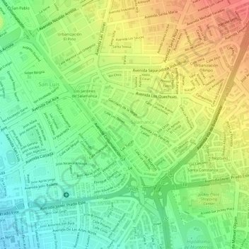
Name: Piura topographic map, elevation, terrain.

Location: Piura, Salamanca de Monterrico, Ate, Lima, Perú (-12.07847 -76.98629 -12.07764 -76.98511)

Average elevation: 653 ft

Minimum elevation: 548 ft

Maximum elevation: 768 ft

Other topographic maps

Click on a map to view its topography, its elevation and its terrain.

Cerro Candela

Perú > Lima > Ate

Average elevation: 1,161 ft

Provincia de Lima

Perú > Lima > Ate

Average elevation: 5,597 ft

Santa Ana

Perú > Lima > Ate

Average elevation: 1,220 ft

Santa Ana

Perú > Lima > Ate

Average elevation: 1,220 ft

Gear up for your next adventure:

🗺️NatGeo Topo Maps - High-quality waterproof printed topographic maps of US Parks
📱Heavy-Duty Phone Cases - Drop-proof and waterproof protection for outdoor navigation
GPS Sports Watch - GPS watch for running, hiking and training
🛏️Cold Weather Sleeping Bag - Warm sleeping bag for cold conditions
📡GPS Antenna Upgrade - Enhance GPS reception in remote terrain

As an Amazon Associate, this site earns from qualifying purchases at no extra cost to you.