
Smila topographic map
Interactive map
Click on the map to display elevation.
About this map
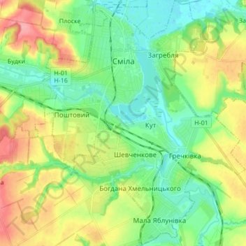
Name: Smila topographic map, elevation, terrain.
Location: Smila, Смілянська міська рада, Cherkasy Oblast, Ukraine (49.16696 31.83714 49.25568 31.95029)
Average elevation: 374 ft
Minimum elevation: 256 ft
Maximum elevation: 587 ft
Other topographic maps
Click on a map to view its topography, its elevation and its terrain.