Geolocate

Chasquitambo topographic map

Click on the map to display elevation.

About this map

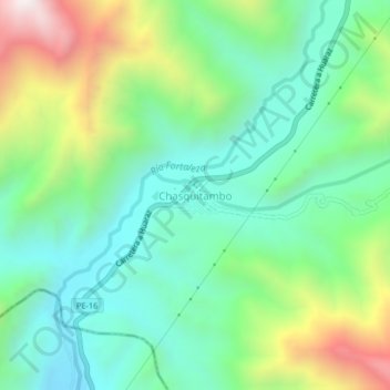
Name: Chasquitambo topographic map, elevation, terrain.

Location: Chasquitambo, Provincia de Bolognesi, Áncash, Perú (-10.33236 -77.63486 -10.29236 -77.59486)

Average elevation: 3,173 ft

Minimum elevation: 2,070 ft

Maximum elevation: 5,610 ft

Gear up for your next adventure:

🧣Hiking Neck Gaiter - Multi‑use neck protection for outdoor weather
🚗GPS Dash Cams - Record your scenic drives through mountain passes and canyons
🪶Multi‑Purpose Knife - Useful blade for camp and trail
🦶Carbon Trekking Poles - Reduce knee impact on steep descents with ultra-light poles
💧Water Filtration Bottles - Safely drink from streams and lakes while exploring

As an Amazon Associate, this site earns from qualifying purchases at no extra cost to you.