Geolocate

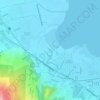
Sucol topographic map

Click on the map to display elevation.

About this map

Name: Sucol topographic map, elevation, terrain.

Location: Sucol, Calamba, Laguna, Calabarzon, 4027, Philippines (14.17613 121.19333 14.18246 121.20127)

Average elevation: 56 ft

Minimum elevation: -3 ft

Maximum elevation: 472 ft

Other topographic maps

Click on a map to view its topography, its elevation and its terrain.
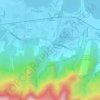
Bucal

Philippines > Laguna > Calamba

Average elevation: 72 ft

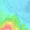
88 Spa & Resort

Philippines > Laguna > Calamba

Average elevation: 272 ft

ASN Ph2 Park

Philippines > Laguna > Calamba

Average elevation: 436 ft

Bucal Reservoir

Philippines > Laguna > Calamba

Average elevation: 138 ft

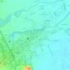
Calamba Town Plaza

Philippines > Laguna > Calamba

Average elevation: 36 ft

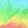
Casa de Palmera Resort

Philippines > Laguna > Calamba

Average elevation: 161 ft

Gear up for your next adventure:

🪶Compact Camp Shovel - Folding shovel for campsite tasks
🪄Magnetic Compass - Accurate compass for navigation
🩳Quick‑Dry Hiking Shorts - Comfortable and quick‑dry shorts for summer hiking
💧Water Filtration Bottles - Safely drink from streams and lakes while exploring
📖Nature Tracking Books - Learn to track wildlife and terrain

As an Amazon Associate, this site earns from qualifying purchases at no extra cost to you.