

Anarak topographic map
Click on the map to display elevation.
Anarak
Anarak is at an altitude of 1,429 metres (4,688 ft) at the edge of the "Dasht-e Kavir" and about 75 kilometres (47 mi) from the city of Nain. The city is surrounded by ruins of an old wall and three watchtowers, which were built about 100 years ago to keep Hossein Kashi and his bandit gang out. There is little agriculture in this region, but there are many mines located near Anarak. Nakhlalk, a lead mine, is the largest active mine near Anarak.
About this map
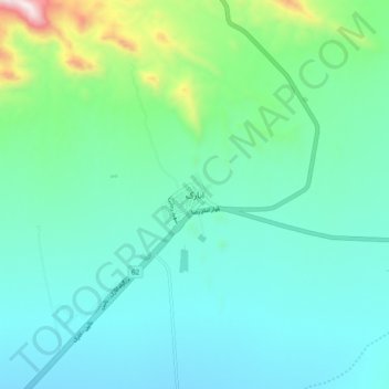
Name: Anarak topographic map, elevation, terrain.
Average elevation: 4,970 ft
Minimum elevation: 4,344 ft
Maximum elevation: 7,680 ft