Geolocate

Mapasingue topographic map

Click on the map to display elevation.

About this map

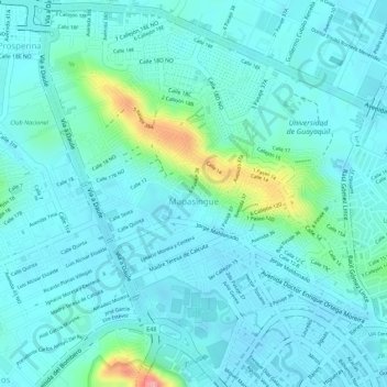
Name: Mapasingue topographic map, elevation, terrain.

Location: Mapasingue, Tarqui, Guayaquil, Guayas, Ecuador (-2.16618 -79.93438 -2.13999 -79.91141)

Average elevation: 79 ft

Minimum elevation: -10 ft

Maximum elevation: 430 ft

Other topographic maps

Click on a map to view its topography, its elevation and its terrain.

Coop. Arcoiris

Ecuador > Guayas > Guayaquil > Guayaquil

Average elevation: 190 ft

Parque Seminario

Ecuador > Guayas > Guayaquil > Guayaquil

Average elevation: 23 ft

Gear up for your next adventure:

🔌Solar Panel Charger - Charge gear sustainably outdoors
🛰️Satellite Messengers - Emergency SOS and two-way messaging for off-grid adventures
🔥Plasma Lighters - Windproof lighters that work in any weather condition
🪵Folding Camp Saw - Compact saw for wood and campsite work
🧯Emergency Survival Kit - All‑in‑one survival essentials for the backcountry

As an Amazon Associate, this site earns from qualifying purchases at no extra cost to you.