Geolocate

Carlton topographic map

Click on the map to display elevation.

About this map

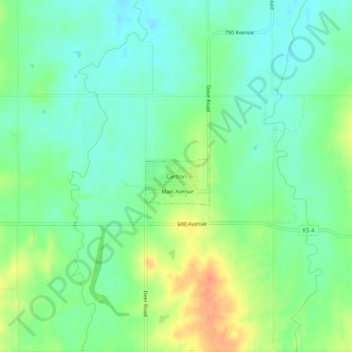
Name: Carlton topographic map, elevation, terrain.

Location: Carlton, Dickinson County, Kansas, United States (38.66723 -97.31336 38.70723 -97.27336)

Average elevation: 1,309 ft

Minimum elevation: 1,257 ft

Maximum elevation: 1,394 ft

Dickinson County trails, hiking, mountain biking, running and outdoor activities

Gear up for your next adventure:

🪓Survival Multi‑Tool - Versatile tool for camp and trail tasks
🚁Photography Drones - Capture stunning aerial views of landforms and topography
🌐World Map Poster - Decorative world maps with topographic info
⛑️Personal Locator Beacon - Safety beacon for emergencies
🔌USB Car Charger - Car charger for on‑the‑go power needs

As an Amazon Associate, this site earns from qualifying purchases at no extra cost to you.