
Thank you for supporting this site ❤️
Make a donation
Make a donation
Gear up for your next adventure:
As an Amazon Associate, this site earns from qualifying purchases at no extra cost to you.
Talagang topographic map
Click on the map to display elevation.
Thank you for supporting this site ❤️
Make a donation
Make a donation
Gear up for your next adventure:
As an Amazon Associate, this site earns from qualifying purchases at no extra cost to you.
About this map
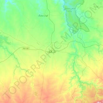
Name: Talagang topographic map, elevation, terrain.
Location: Talagang, Talagang Tehsil, Talagang District, Punjab, Pakistan (32.76351 72.25398 33.08351 72.57398)
Average elevation: 1,562 ft
Minimum elevation: 1,027 ft
Maximum elevation: 2,684 ft
Thank you for supporting this site ❤️
Make a donation
Make a donation
Gear up for your next adventure:
As an Amazon Associate, this site earns from qualifying purchases at no extra cost to you.