
Make a donation
Gear up for your next adventure:
As an Amazon Associate, this site earns from qualifying purchases at no extra cost to you.
Goldáraz topographic map
Click on the map to display elevation.
Make a donation
Gear up for your next adventure:
As an Amazon Associate, this site earns from qualifying purchases at no extra cost to you.
Goldáraz
La localidad de Goldáraz está situada en la parte sureste del municipio de Imoz a una altitud de 743 m s. n. m. Su término concejil tiene una superficie de 6,11 km² y limita al norte con Latasa; al este con Eraso; al sur con el municipio de Irurzun y el concejo de Echeverri en el valle de Araquil y al oeste con Odériz y Madoz.
Make a donation
Gear up for your next adventure:
As an Amazon Associate, this site earns from qualifying purchases at no extra cost to you.
About this map
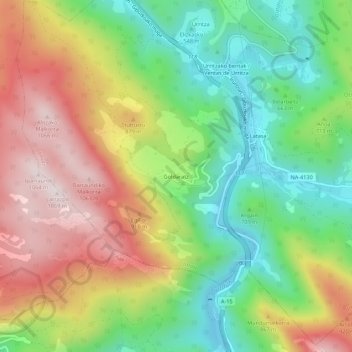
Name: Goldáraz topographic map, elevation, terrain.
Location: Goldáraz, Imotz, Larraun-Leitzaldea, Navarra, 31869, España (42.92994 -1.85578 42.96994 -1.81578)
Average elevation: 2,372 ft
Minimum elevation: 1,493 ft
Maximum elevation: 3,484 ft
Make a donation
Gear up for your next adventure:
As an Amazon Associate, this site earns from qualifying purchases at no extra cost to you.