Geolocate

Harcourt topographic map

Click on the map to display elevation.

About this map
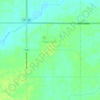
Name: Harcourt topographic map, elevation, terrain.

Location: Harcourt, Webster County, Iowa, 50544, United States (42.25328 -94.18436 42.26782 -94.16466)

Average elevation: 1,165 ft

Minimum elevation: 1,142 ft

Maximum elevation: 1,184 ft

Webster County trails, hiking, mountain biking, running and outdoor activities

Gear up for your next adventure:

📱Solar Portable Charger - Solar power bank for charging devices off‑grid
🧯Emergency Survival Kit - All‑in‑one survival essentials for the backcountry
🧤Hiking Gloves - Protective gloves for rugged trails
🧭Outdoor Navigation Book - Learn advanced navigation skills
🔌USB Car Charger - Car charger for on‑the‑go power needs

As an Amazon Associate, this site earns from qualifying purchases at no extra cost to you.