Geolocate

Salice topographic map

Click on the map to display elevation.

About this map

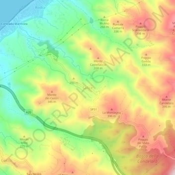
Name: Salice topographic map, elevation, terrain.

Location: Salice, Messina, Sicily, 98153, Italy (38.23087 15.47400 38.27087 15.51400)

Average elevation: 735 ft

Minimum elevation: 0 ft

Maximum elevation: 1,565 ft

Gear up for your next adventure:

🪶Multi‑Purpose Knife - Useful blade for camp and trail
🪶Camp Gear Gift Set - Perfect gift bundle for outdoor fans
🦶Carbon Trekking Poles - Reduce knee impact on steep descents with ultra-light poles
👟Men's Trail Runners - Lightweight footwear for fast-paced exploration and light hiking
Backpacking Tent - Lightweight and durable tent for multi‑day hikes

As an Amazon Associate, this site earns from qualifying purchases at no extra cost to you.